Below are some of our key digital outputs and how you can find them.
In addition to the content in this website, there are digital assets which are located in other locations:
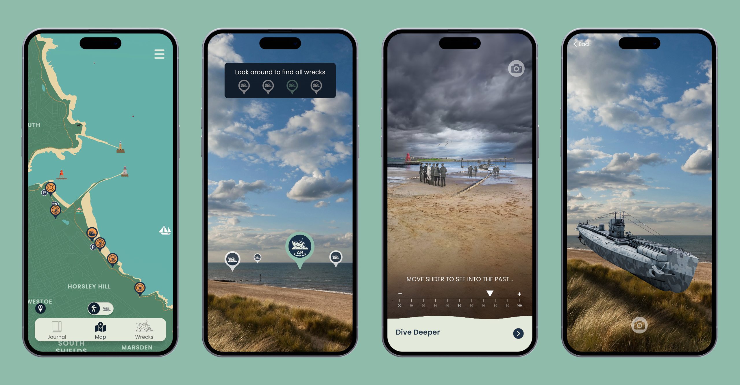
Download the free SeaScapes Coastal App from your favourite apps store and learn more about the Tyne to Tees Coast. A free mobile phone app called the SeaScapes Coastal App will enable you to learn more about the Tyne to Tees coast. Once the app is loaded on your mobile phone,
the app will ping the phone at key locations along the coast. At each location, the initial screen will tell you about the place and its point of interest, from which you can do a deeper dive into the information. Locations of wrecks off the coast will also enable you to find out more about the hidden heritage beneath the waves. The app will be released in early March 2024 and will be suitable for most smart phones. You will be able to download the free app from your favourite apps store once released.

Sunderland Co-lab
Dr Suzy O’Hara has been the curator of most of the creative aspects of the project. Her website shows these outcomes in more detail see:
Reading the Rocks
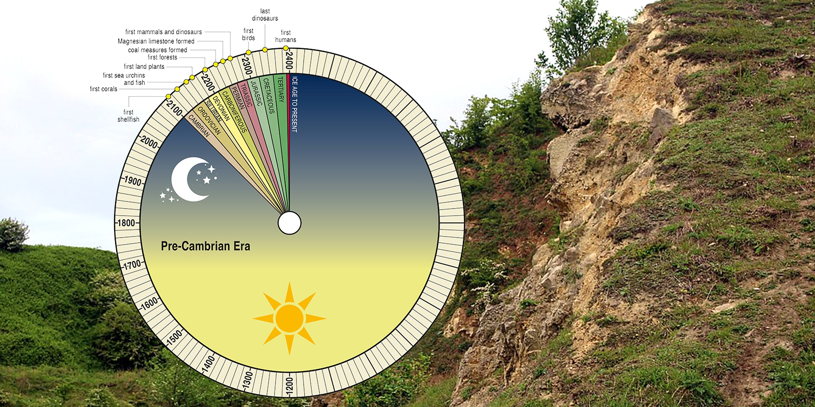
Our ReadingtheRocks.com website takes you on self-guided geology walks along three Durham coast beaches. Through video, maps and photos you can learn about the geology before you head to the beach and then can find the geological features on the beaches.

FoodScapes Food Atlas – Due Out Soon
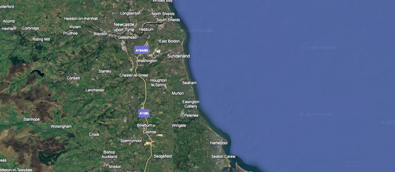
This uses Google Earth as a platform to display a location-based Food Story relevant to that location.
This massive research work, will work on 8 categories and each will have its own map to ensure it is usable. 10 Stories per category, first is intro to topic, 8 stories and the last is the future aspect of the topic.
Stories such as fishing, drink and salt will be the focus from Tyne to Tees ensuring the historic images and newly created text will be provide an interesting insight into the food-related history along out wider coast.


